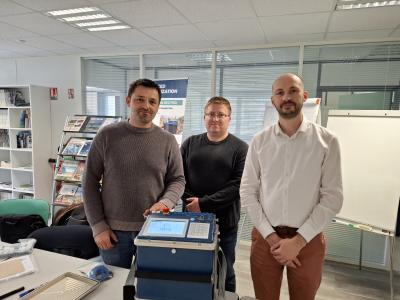
Our geophysics team recently conducted ERT (Electrical Resistivity Tomography) measurements over an approximately 100-hectare area using our new Syscal Terra instrument (manufactured by IRIS Instruments), reaching depths of up to 180 meters. The purpose of the geophysical investigation was to map the aquifer layers of the area to ensure a reliable water supply.
In 2024, as part of a multi-site research initiative, we conducted ground-penetrating radar (GPR) geophysical surveys in the outskirts of Kiskunlacháza. The aim of these surveys was to locate the sites of former village churches within the administrative boundaries of the settlement, using non-invasive methods to identify the remains of historical church buildings.
The arrival of our company's latest measuring instrument was preceded by eager anticipation. Finally, at the end of March, during a personal visit to the company IRIS Instruments in France, we had the opportunity to take delivery of one of their flagship devices, the SYSCAL TERRA SWITCH 96. We would like to thank them once again for the warm reception and the extremely helpful training!