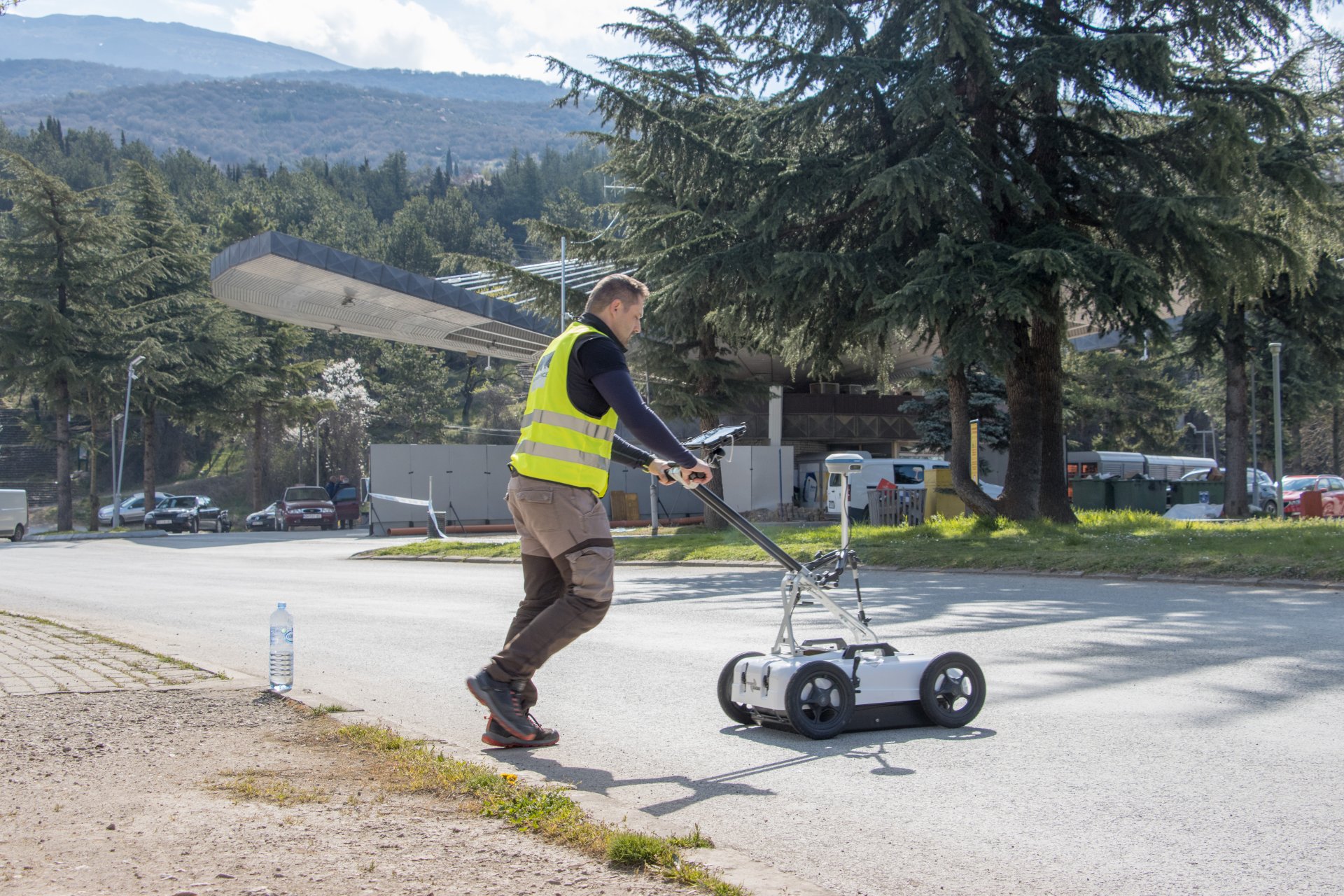
Recently, our work took us to one of the iconic cities of Ohrid in North Macedonia, where a critical question arose at a development site: where exactly does the large-diameter water pipeline supplying the city run? The available data did not provide a clear answer for the client, while construction could not be delayed, fast and precise execution was essential.
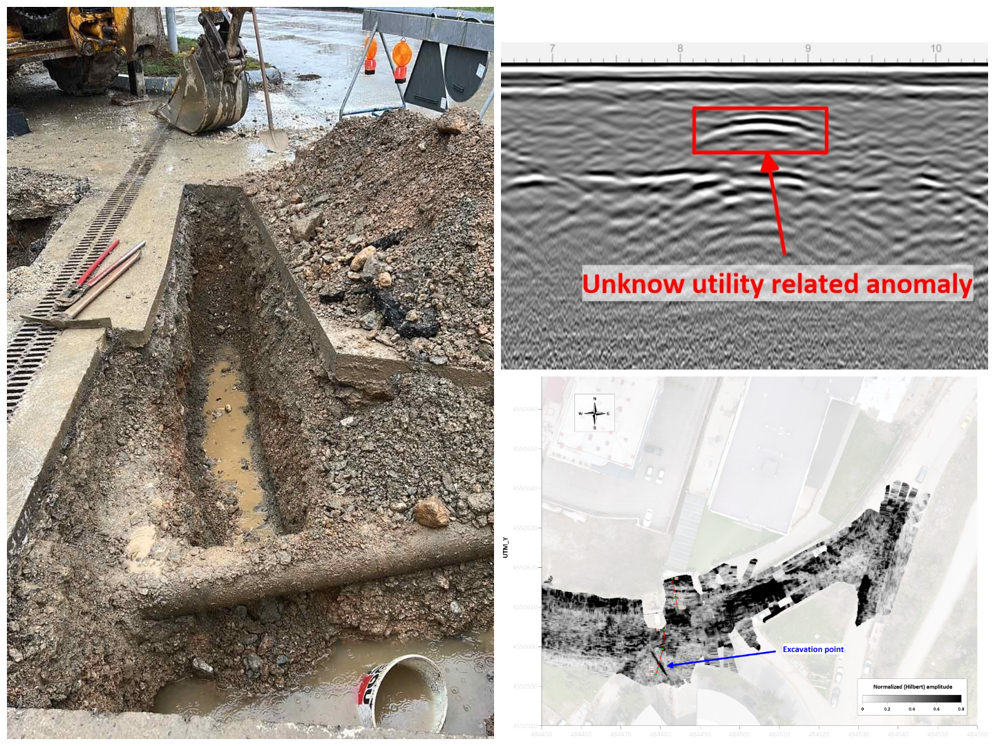
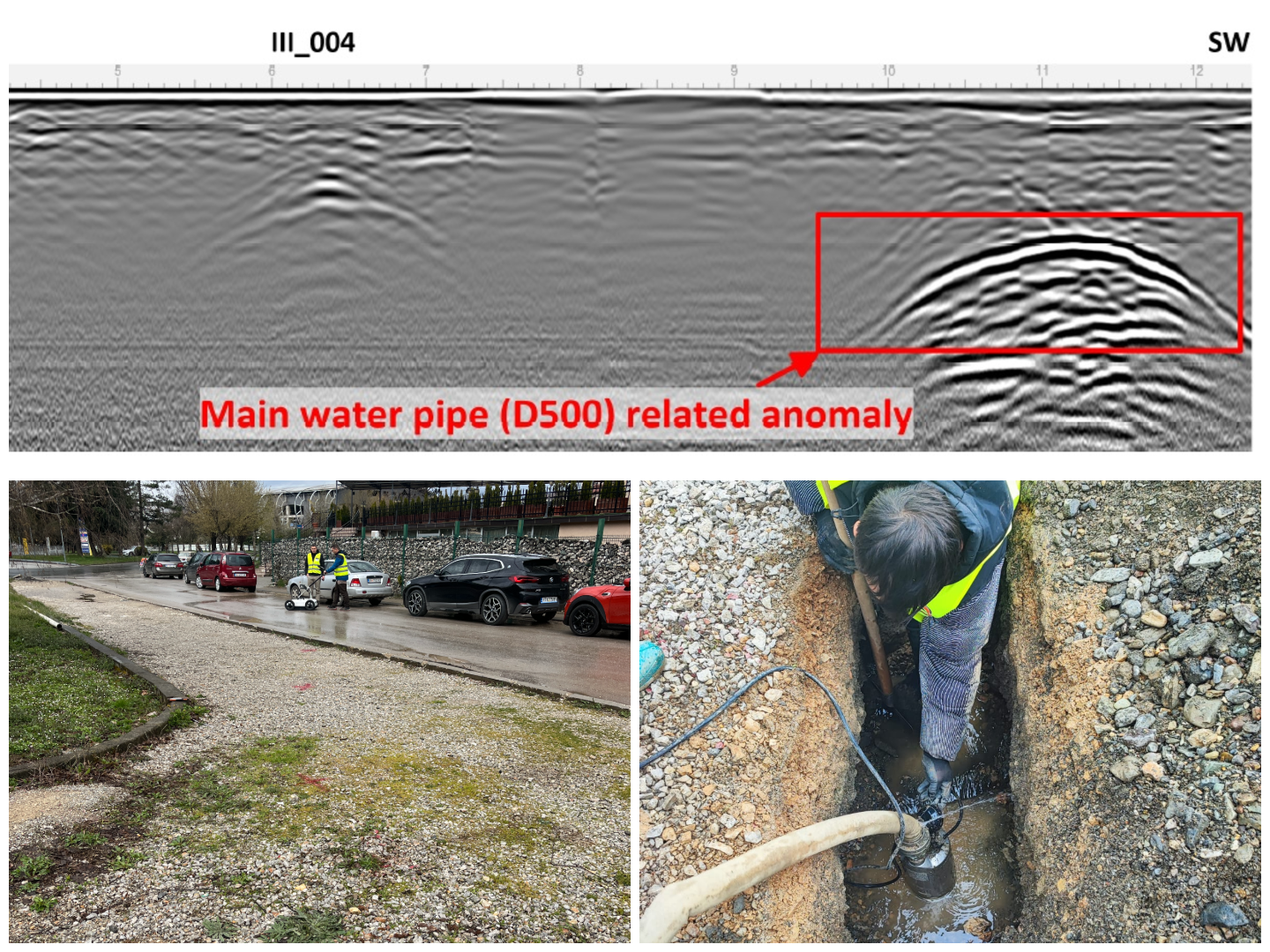
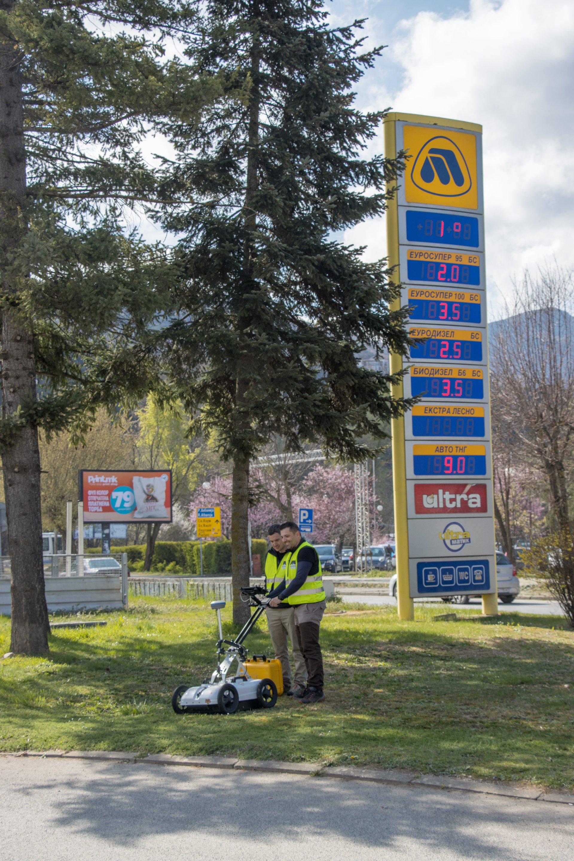
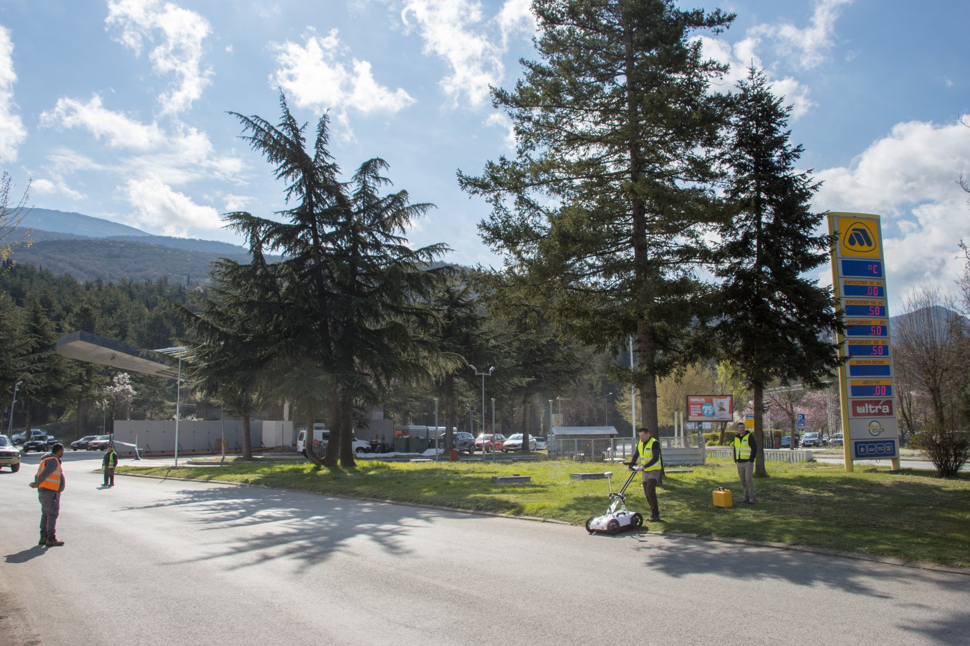
At this point, engineering geophysics became an integral part of the workflow. We carried out high-resolution, shallow-depth (0–2 m) ground-penetrating radar (GPR) surveys across the site, which enabled us to:
accurately determine the position of the questioned section of the main pipeline,
- map additional utilities and subsurface anomalies within the development area,
- integrate the precisely identified utility network into a GIS-based mapping system within the surveyed area.
Our client was highly satisfied with the results. Following the successful completion of the project, we even had time to appreciate the city’s remarkable historical heritage and natural beauty.
Finally, it is important to highlight that incomplete or unreliable utility records are not only a local issue, similar situations are frequently encountered in Hungary as well. In such cases, non-destructive GPR surveys, coordinated with construction activities, can significantly reduce the risks associated with excavation works in development projects.