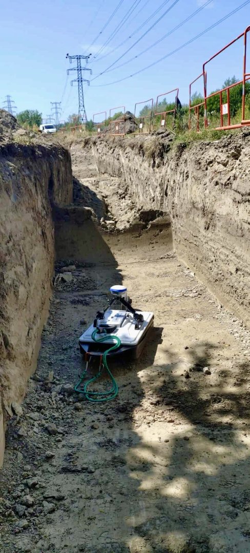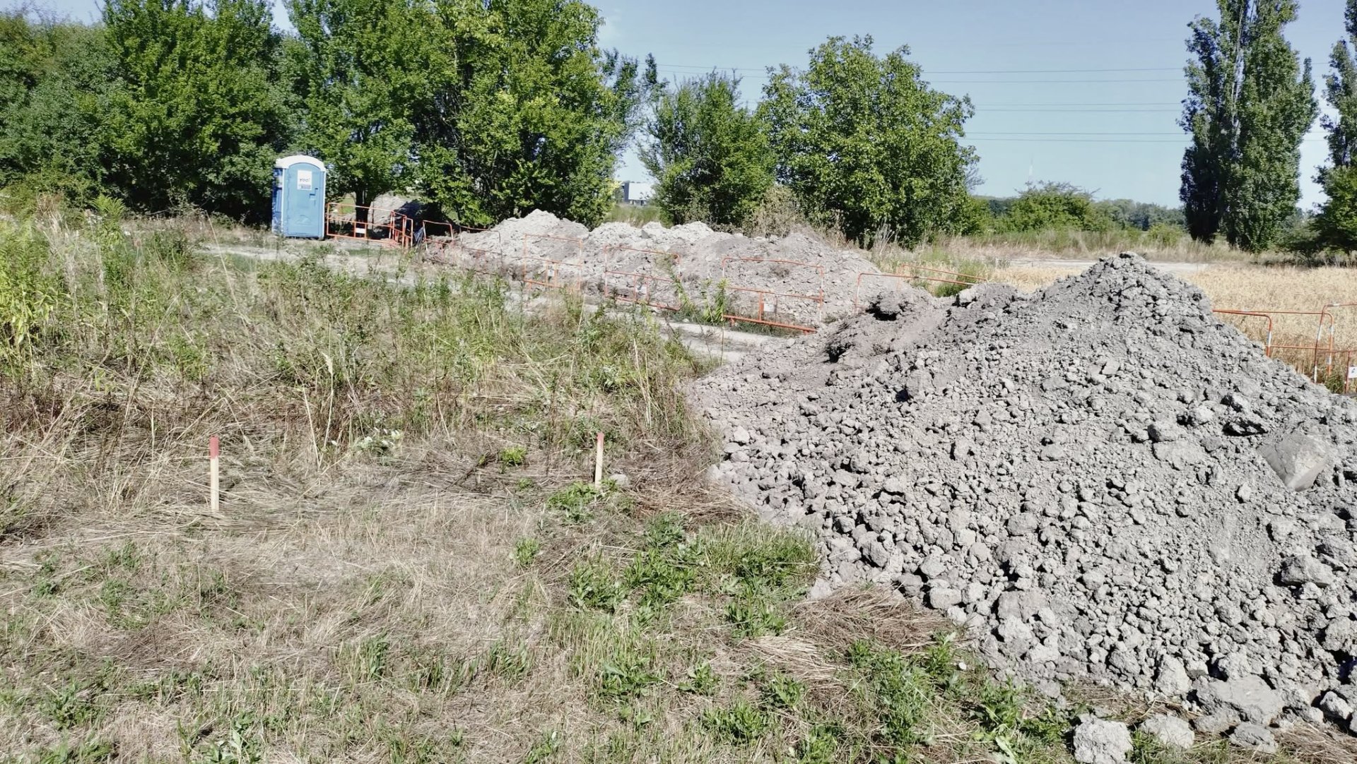
Recently, we were involved in a construction project where it became necessary to determine the exact location of a water pipeline running through the work area. Initially, the Contractor attempted to locate the pipeline by mechanical excavation based on data available in the utility registry. Unfortunately, inaccuracies in the records led to more than 60 meters of unnecessary trial trenches.
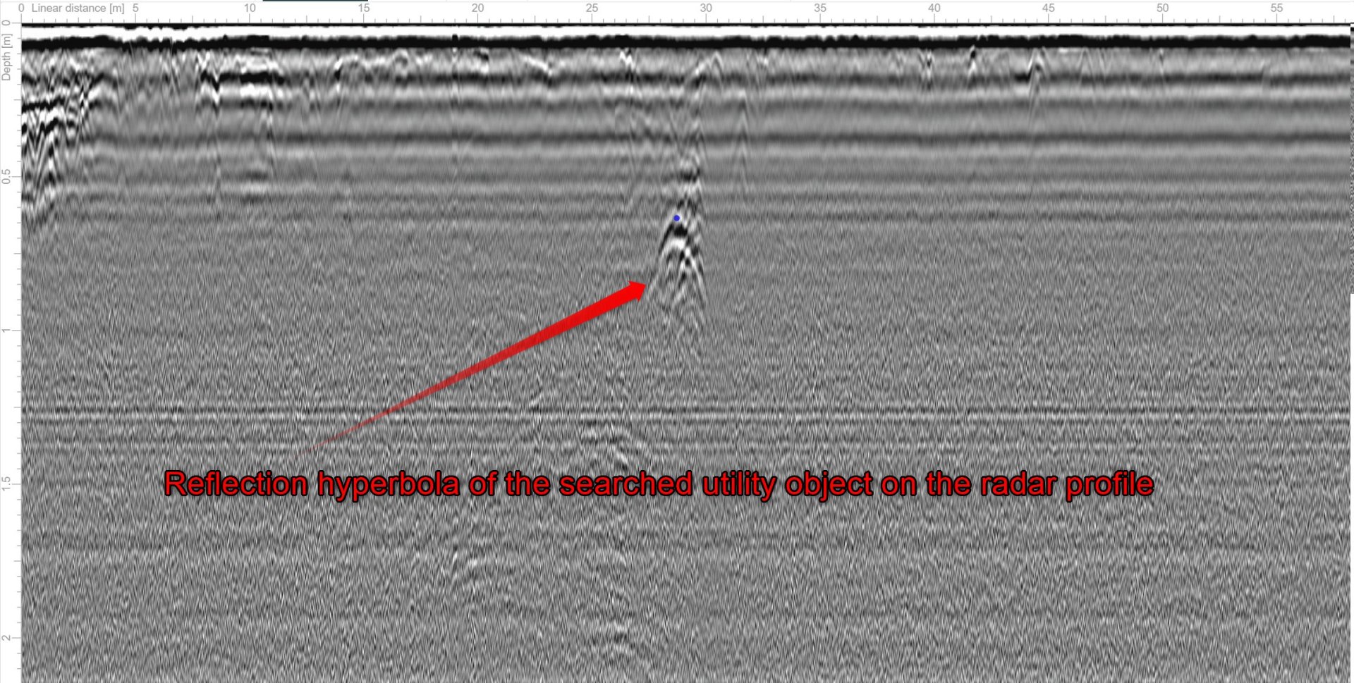
To ensure precise localization, our company carried out a ground-penetrating radar (GPR) survey. The objective was to identify both the alignment of the pipeline and its depth below the surface. After processing the radar data, we were able to accurately determine the position of the searched water pipeline in EOV coordinates, including its horizontal alignment and burial depth.
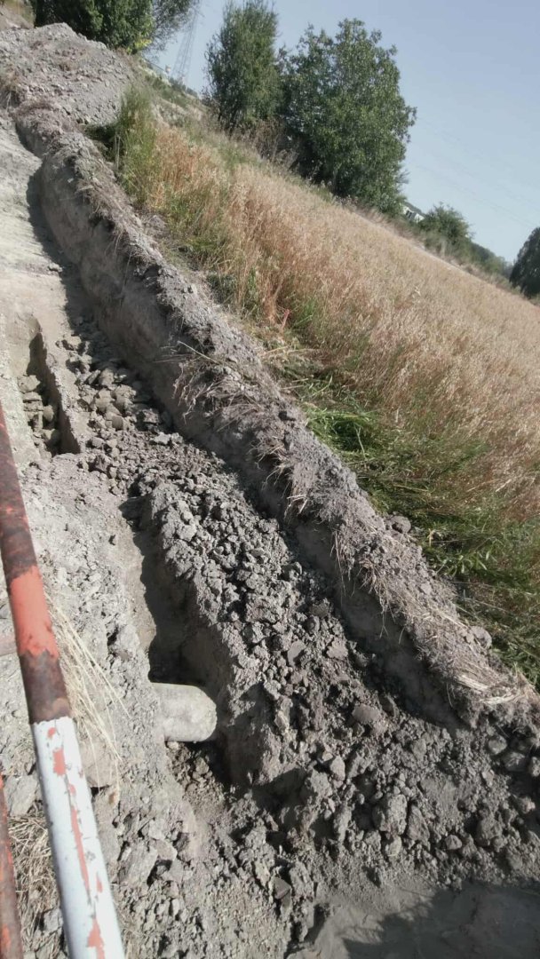
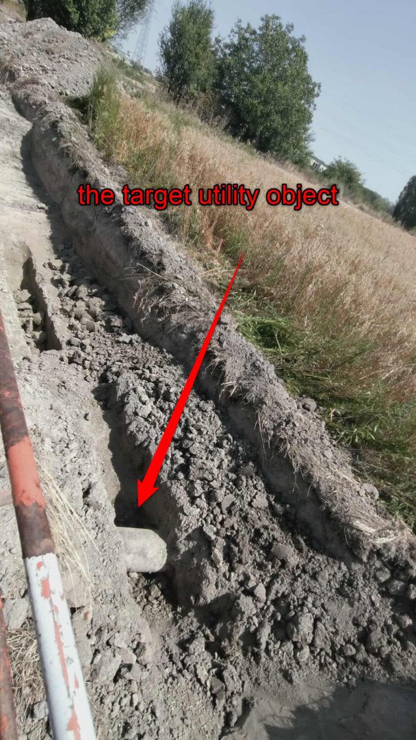
The attached images show the trial trench, the characteristic reflection hyperbola visible on the radargram, and the exposed pipeline section revealed based on our results.