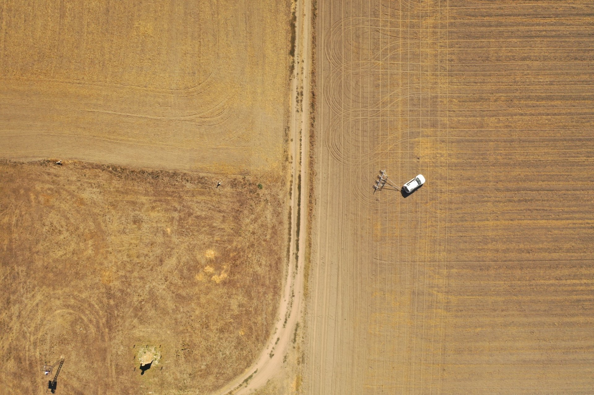
Usually, when someone looks at an agricultural field, not much comes to mind as interesting. As laypeople, at best, we notice the plants growing on it, marvel at its monotonous beauty, or perhaps its occasional slopes. However, there are places where what today seems like an insignificant landscape was once the living space of a thriving human community. A community that lived there for hundreds of years, building churches and stone buildings, and then, due to some historical event, it disappeared almost without a trace. Such a place is the site of a former monastery, manor house, and palisade fort located near the village of Bátmonostor in Bács-Kiskun County. The area is now largely an agricultural field but is also a significant archaeological site.
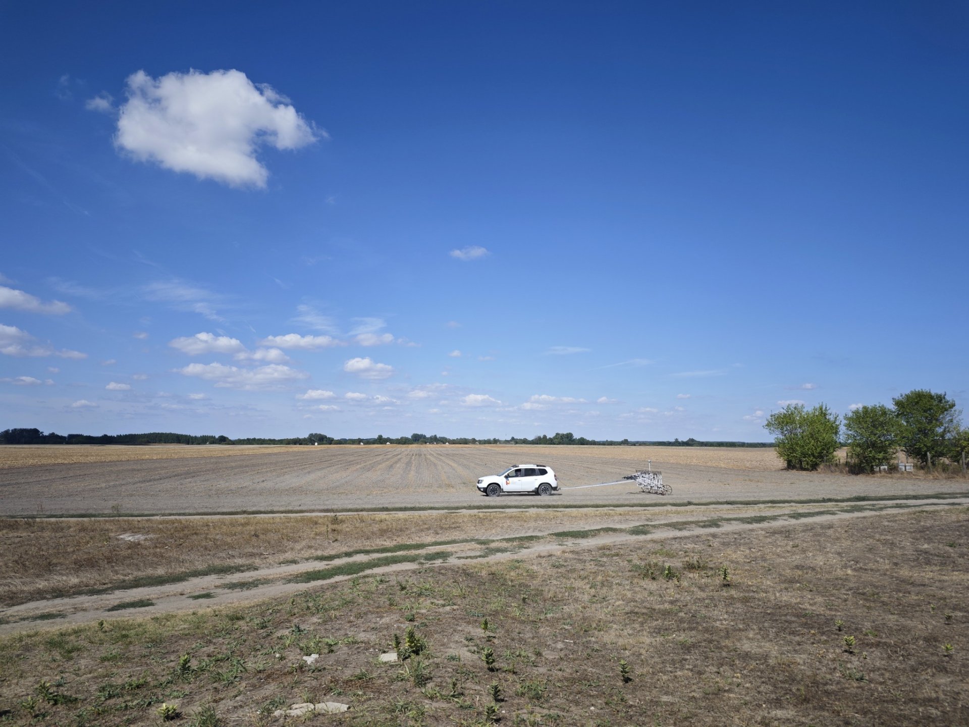
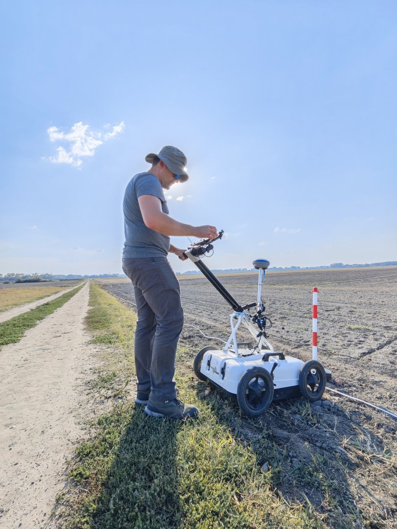
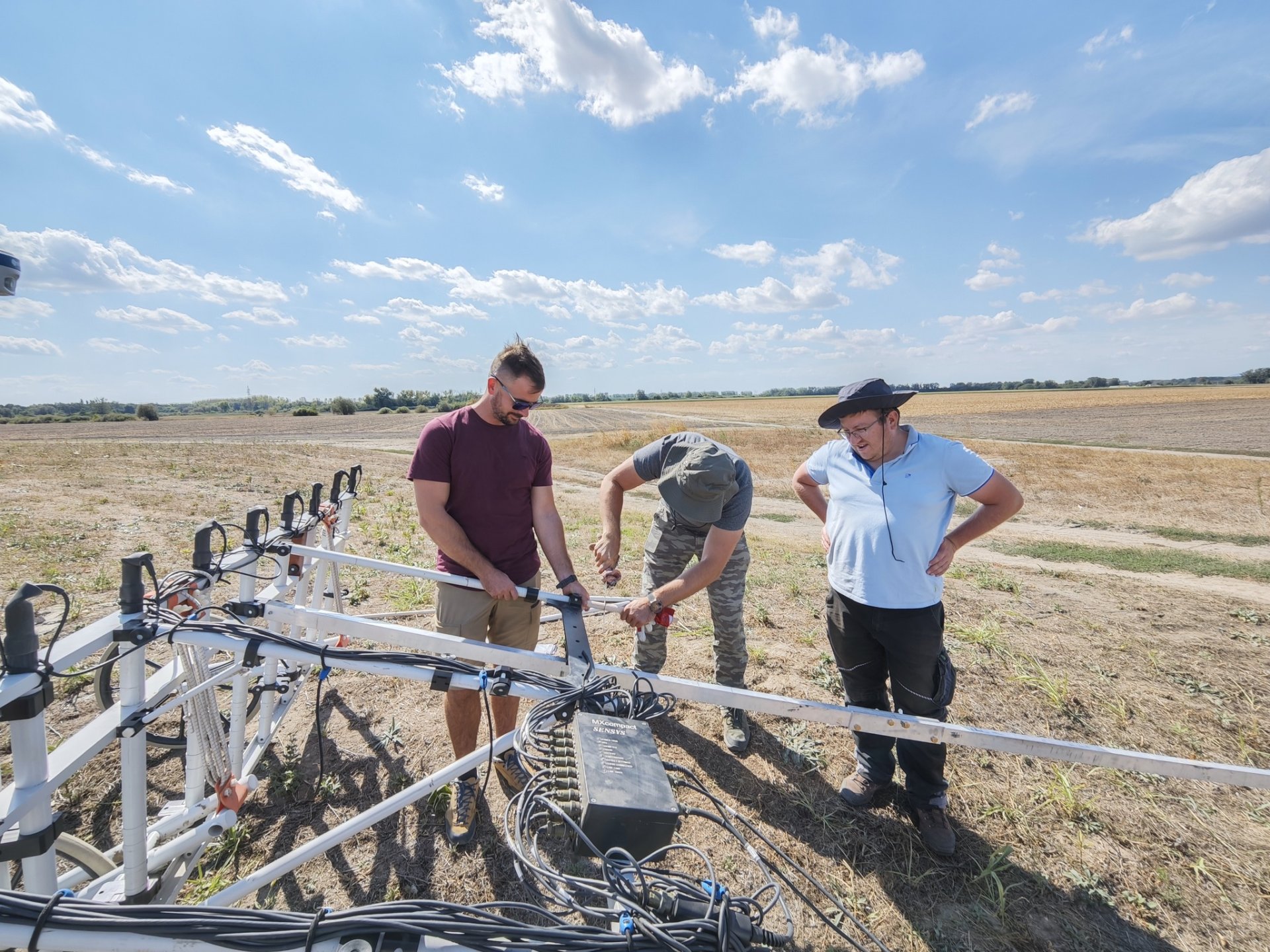
Our company was commissioned by the Katona József Museum in Kecskemét to conduct a complex geophysical survey and aerial mapping of the area. The goal of the geophysical survey was to investigate the structures preserved beneath the surface, including buildings and archaeological features. The results of the high-resolution geomagnetic survey conducted over more than 7 hectares clearly reveal the structure of the entire former settlement. The 2,000-square-meter area surveyed with ground-penetrating radar at the location of the monastery building vividly outlines the walls of the once grand and majestic structure that remain buried underground. We will cover the results of the geophysical survey in more detail in a later post.
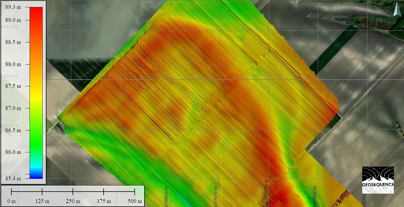
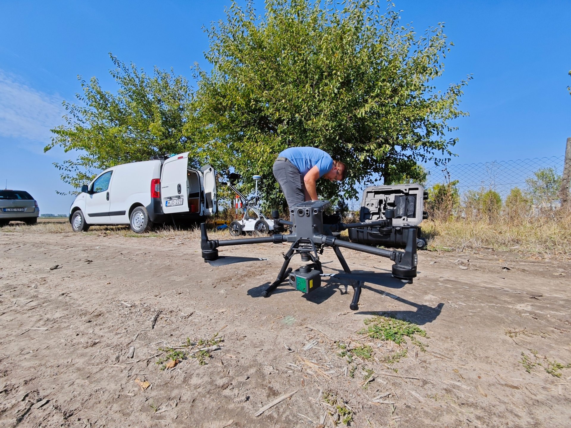
During the aerial mapping, we used a high-resolution camera mounted on a drone, along with data collection from a laser scanner, to create an aerial map and topographical model of the area. The microtopography, which is invisible from the ground, becomes visible through the appropriate use of color scales, revealing buried objects and buildings. This significantly supplements the geophysical measurements, aiding in the coordination of costly excavations and the preparation of archaeological digs.