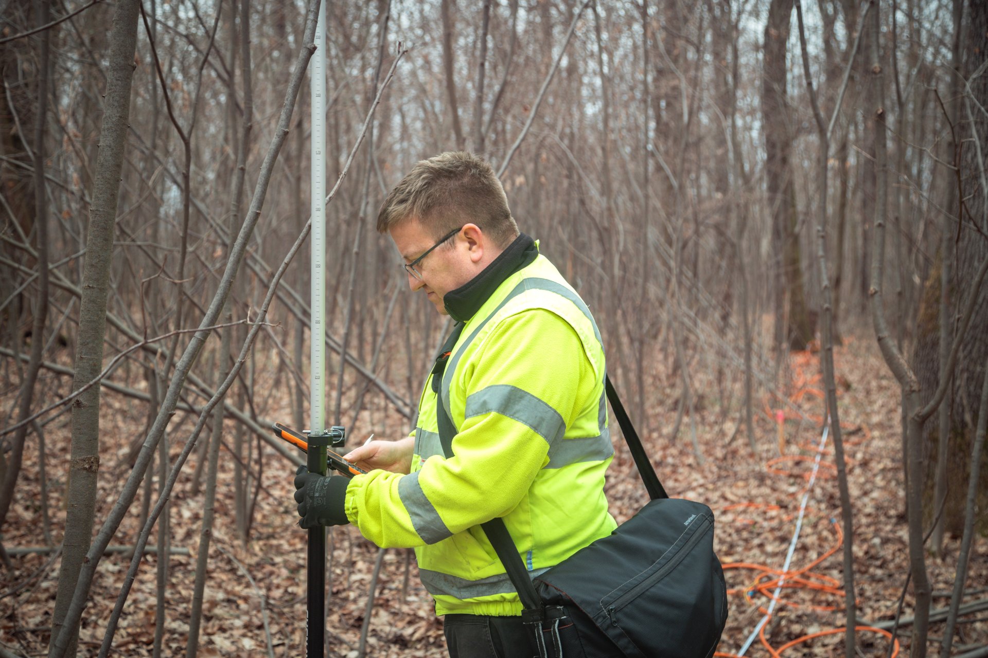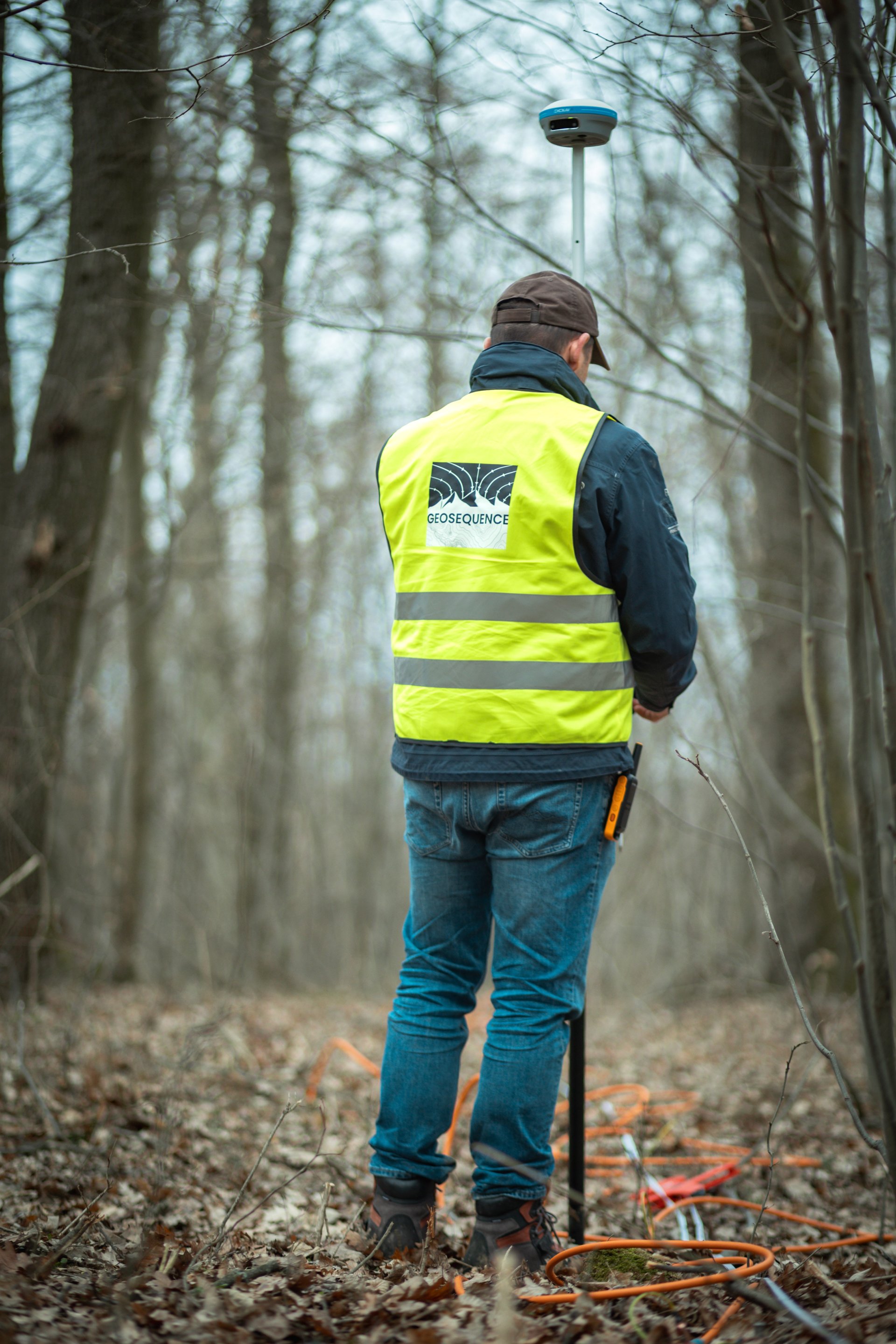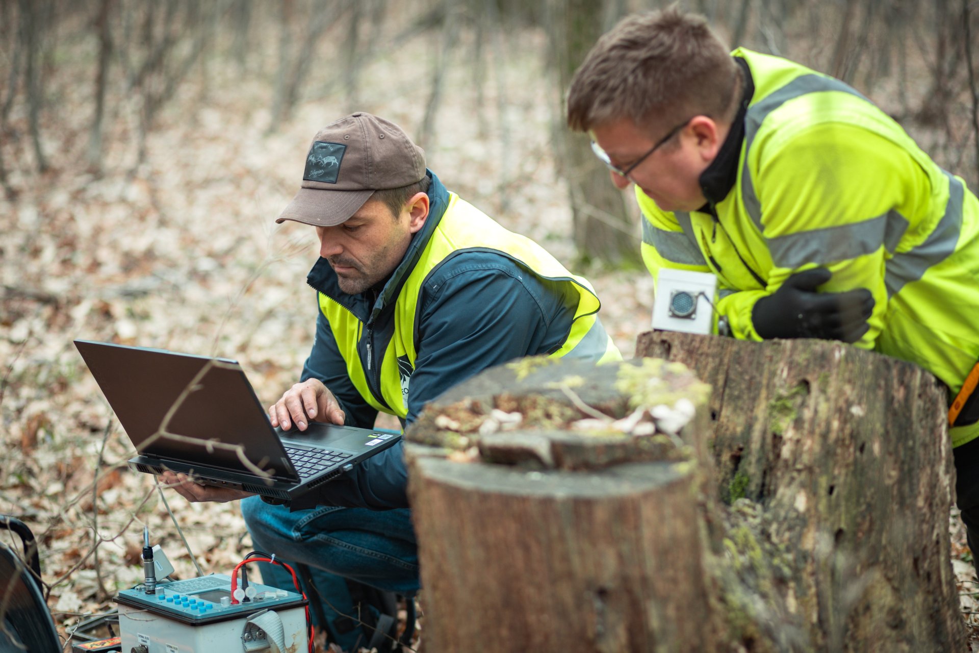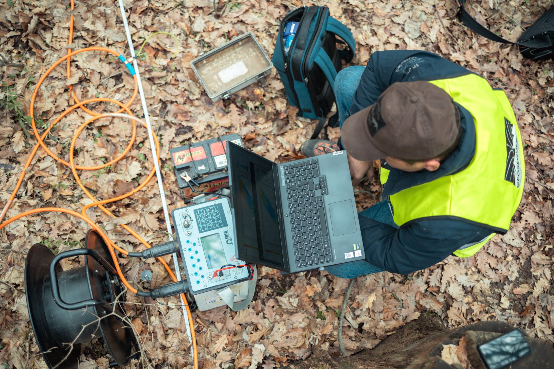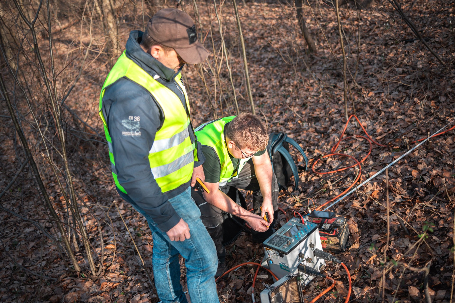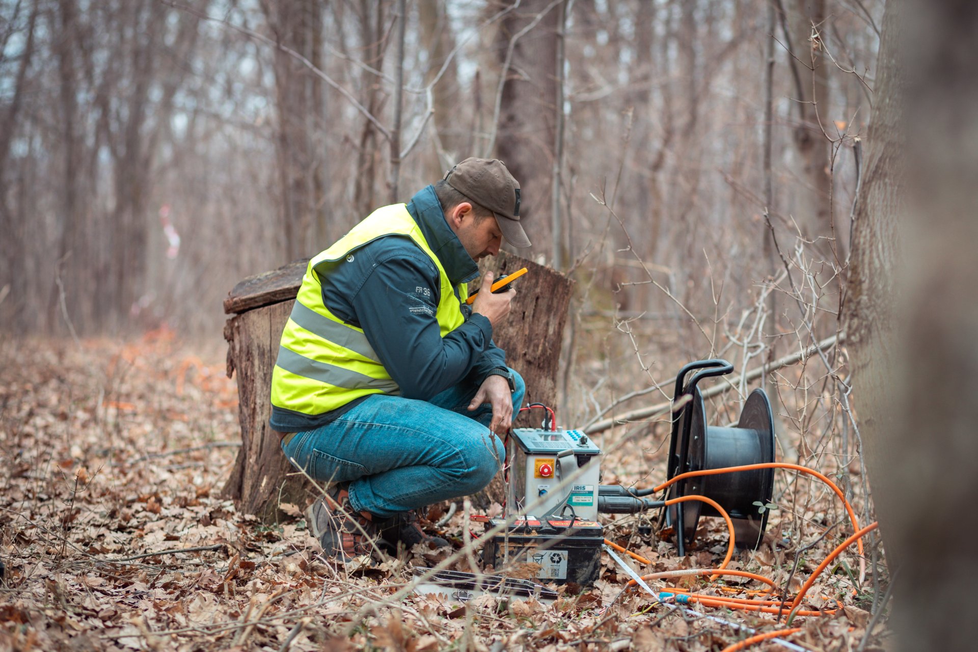
The Public Limited Company for Radioactive Waste Management (PURAM) organized geological research for the design of a research trench in the area of the village of Cserdi. The main goal of the campaign was to clarify the tectonic structure along the northeastern-southwestern Hetvehely–Magyarszék line and to examine the younger Quaternary (Pleistocene-Holocene) and/or Pannonian sedimentary layers covering the zone.
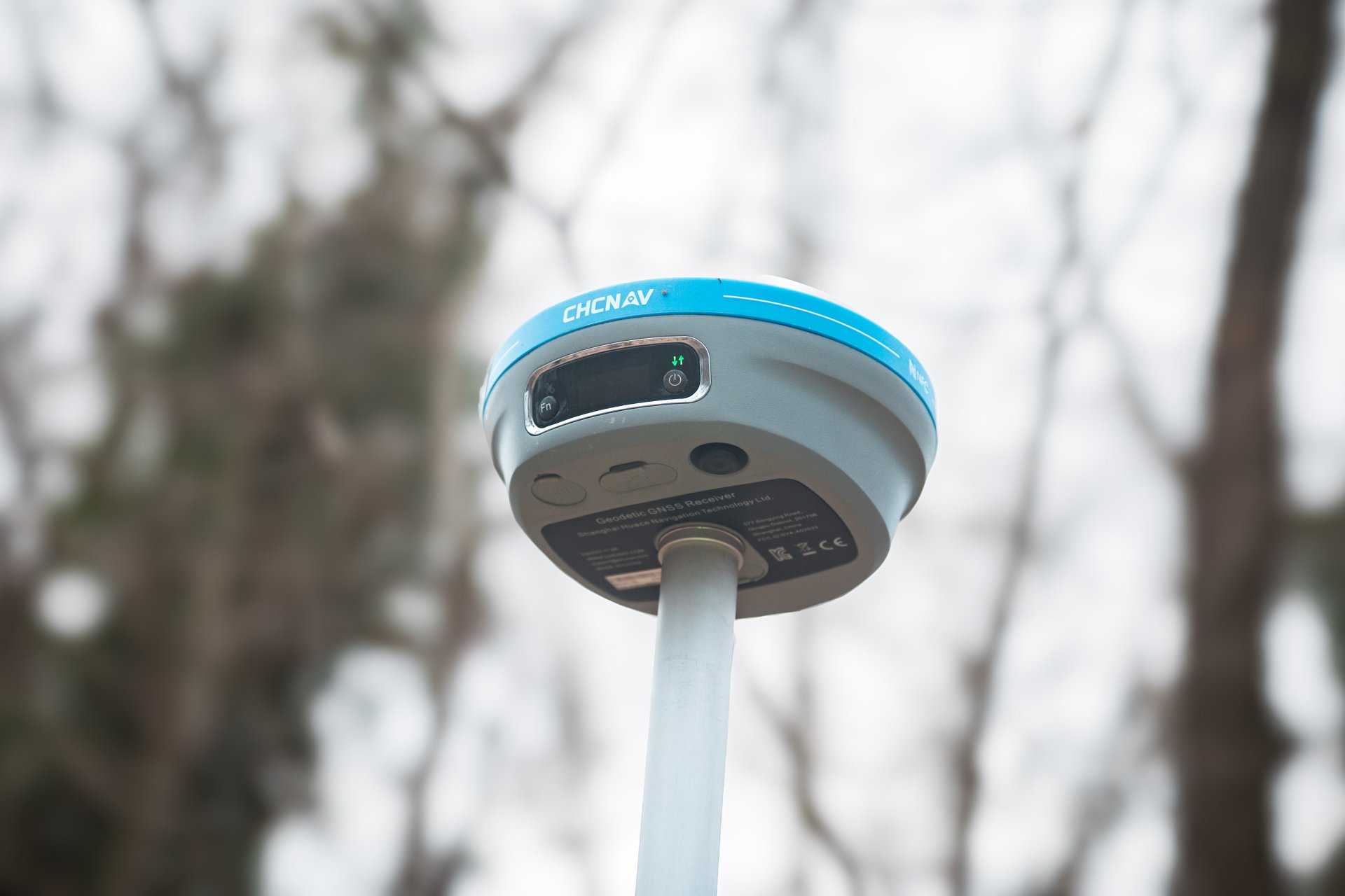
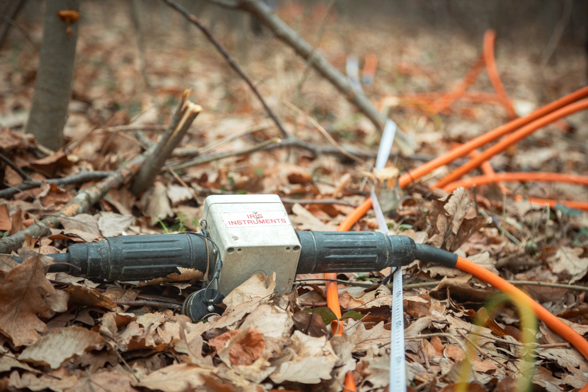
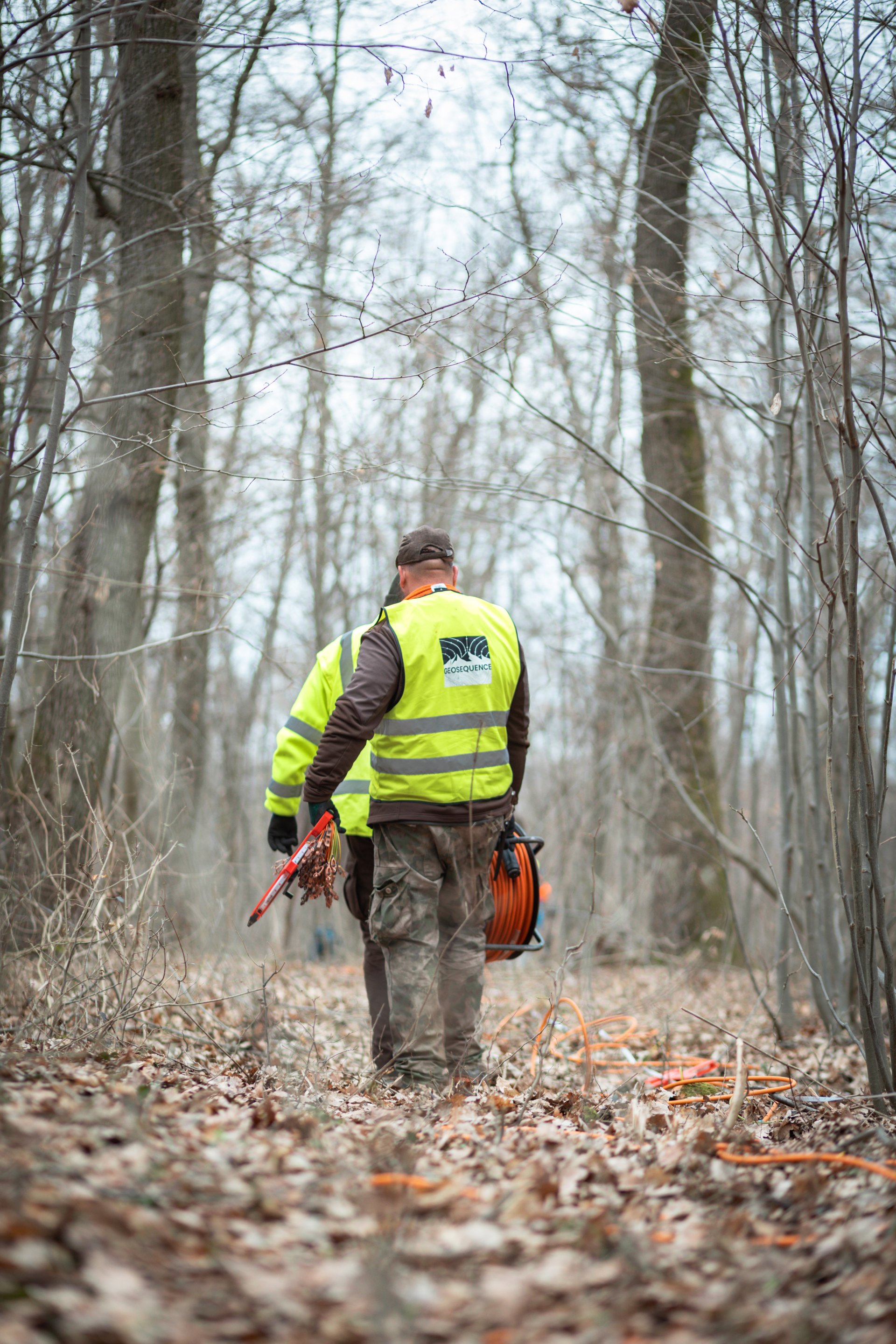
For the geological mapping of the area, the full spectrum of shallow geophysical methods was applied. In this professionally high-standard project, our company, in cooperation with MECSEKÉRC Zrt. and ELGOSCAR Environmental Technology Plc. carried out electrical resistivity tomography (ERT) mapping of the forested hill area north of the village of Cserdi. During the project, data was collected along six profiles, each several hundred meters long. As a result of evaluating the measured data, six high-quality electrical resistivity profiles were produced, which, when combined with the results from other applied methods, support the identification of soil drilling points for the next phase of the research.