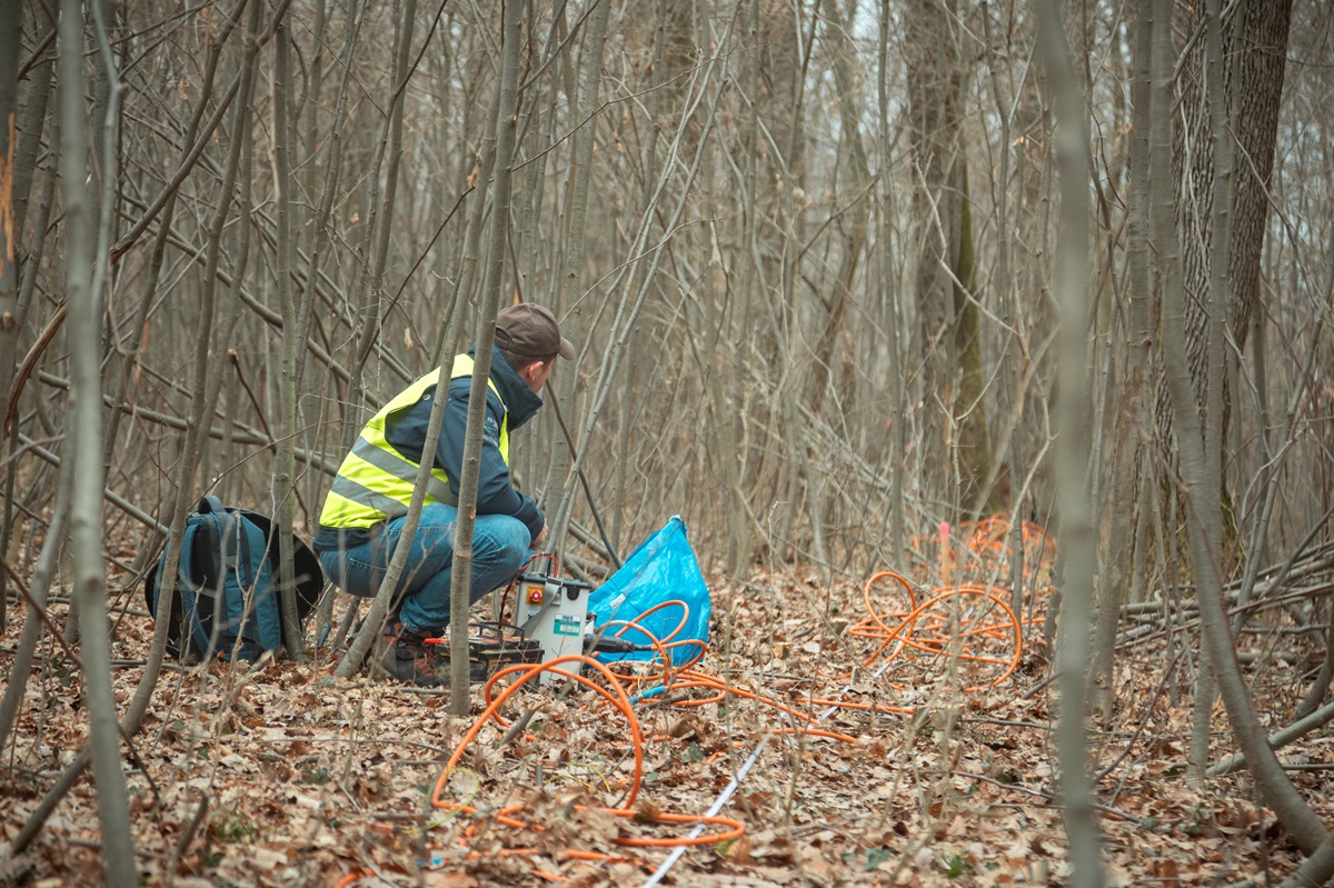
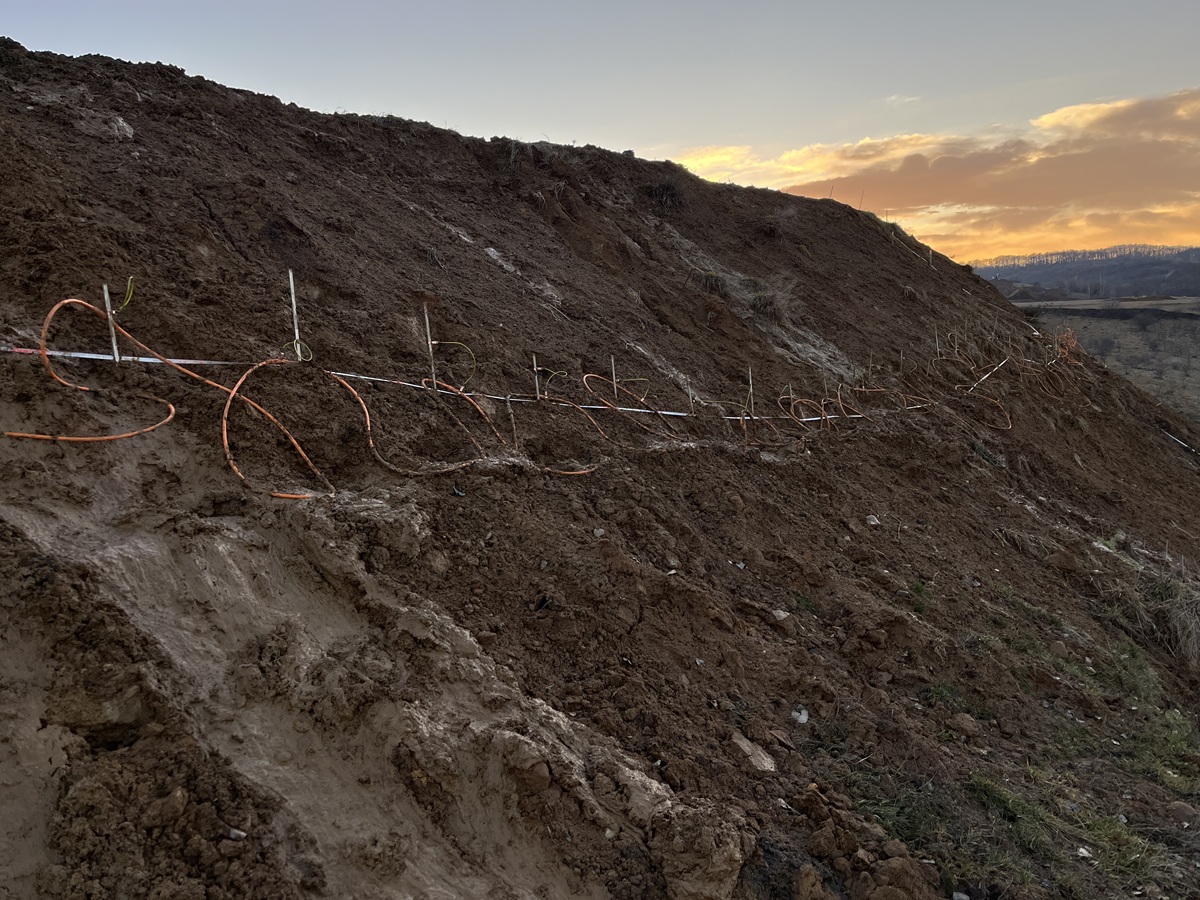
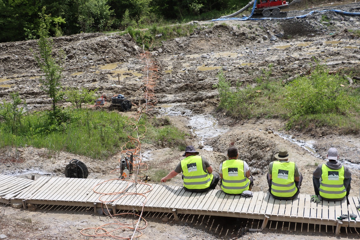
During the measurement, a quasi-stationary current is introduced into the ground, and by measuring the voltage differences along the deployed cable system, the distribution of the soil's specific electrical resistivity as a function of depth can be determined, thus allowing us to visualize the spatial position of rocks with different specific electrical resistivities on 2D and 3D profiles.
The specific electrical resistivity primarily depends on the material quality of the rock matrix, its mineral composition, and the resistivity of the material filling the pore space. Furthermore, the measured values are influenced by the water saturation of the pore space, as well as the compactness and fracturing of the rocks. In addition to structures interpretable on a geological scale, the sources of smaller-scale inhomogeneities also become determinable with increased resolution.
Application areas:
- Cavity detection, crack and leak detection
- Archaeological surveys
- Water exploration
- Mine surveys
- Dam body inspections
Advantages:
- Penetration depth and field resolution can be optimized depending on the target task
- Applicable also in highly conductive media
- Possibility for 2-dimensional mapping along profiles and 3-dimensional mapping along spatial grids
- Can be performed without harming the environment