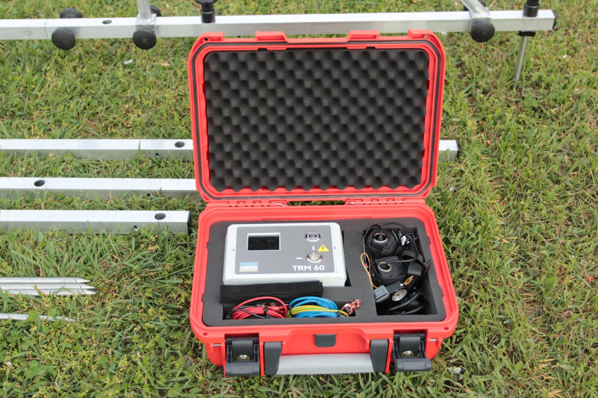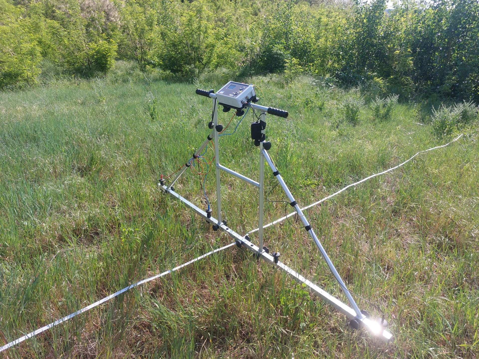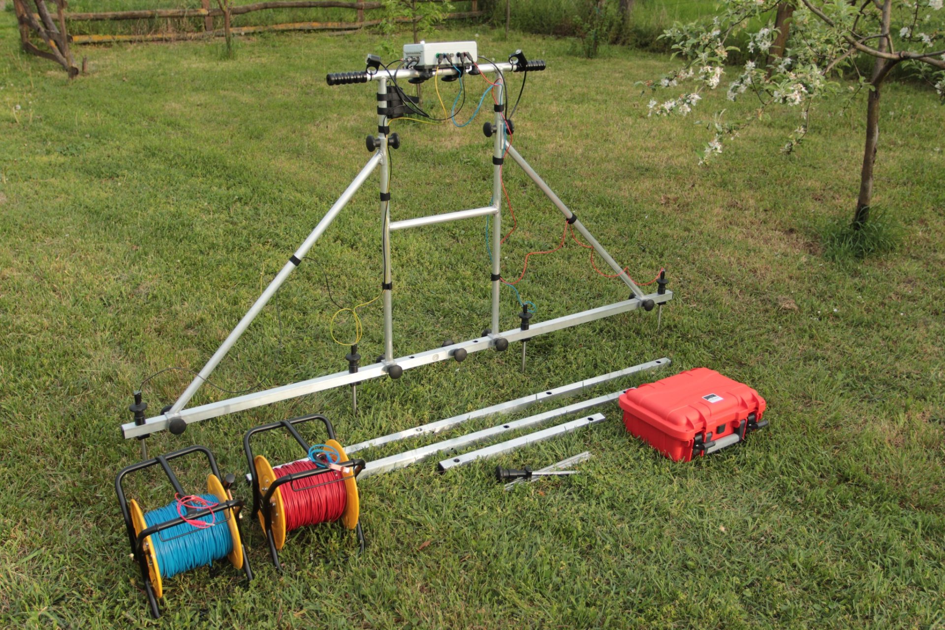
Over the past few months, we have been working on several exciting projects. One of the most challenging among them was a geophysical instrument development that we started at the request of one of our Clients. The goal was to create an entirely new measuring system capable of determining the specific electrical resistivity of the top 1.5 meters of soil. As a field instrument, in addition to ensuring high-quality data acquisition and incorporating modern technological solutions, the system also had to meet a wide range of other criteria, from maximum protection against natural elements to user-friendly operation.
We are pleased to report success: a few days ago, our company completed a successful field test with the newly developed soil resistivity meter.
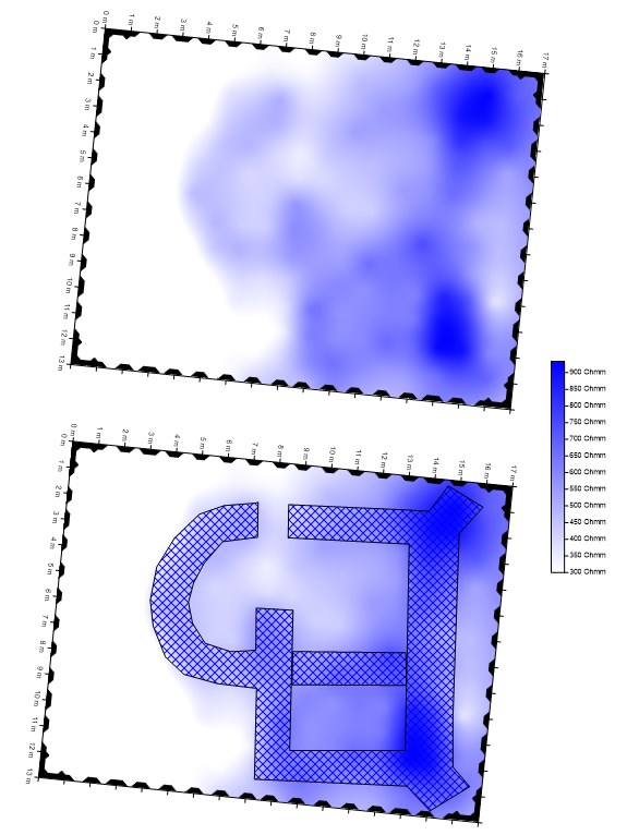
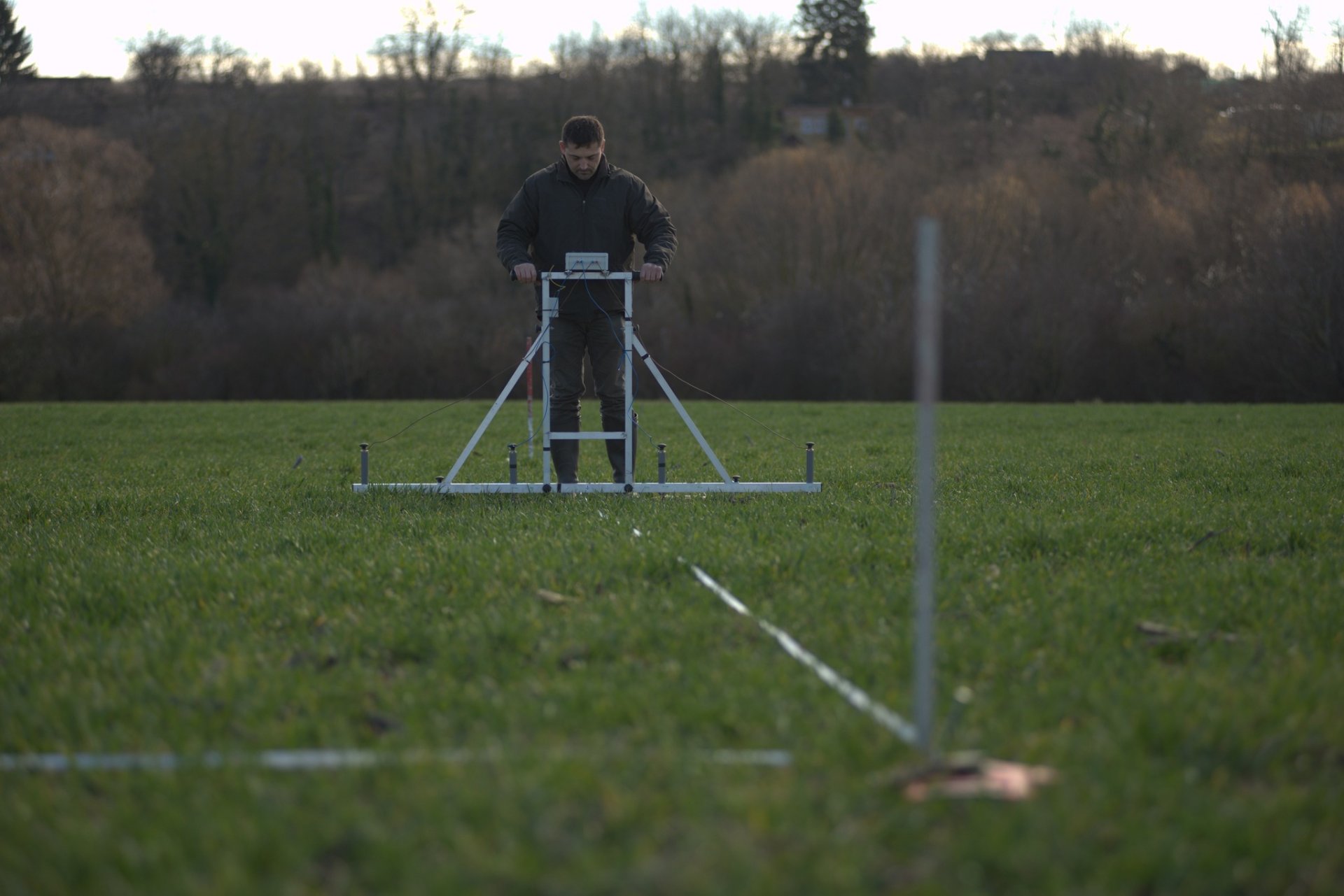
The test site was the presumed location of a church in a village that was destroyed during the Middle Ages. The specific resistivity of the buried wall remains differs from that of the local geological environment. During the measurement campaign, we surveyed a 13 × 17 m area on a 1 × 1 m grid, testing several array configurations (Wenner, Pole-Pole). The results speak for themselves: despite the relatively low point density and the fact that the area had been heavily disturbed by agriculture for many years, the remains of the former church walls were clearly visible.
In addition to the quality of the data acquisition, we were particularly pleased that the hardware components of the system also performed well in the field, withstanding the demands without any faults. We are confident that our Client will also find the newly delivered measuring system highly satisfactory.