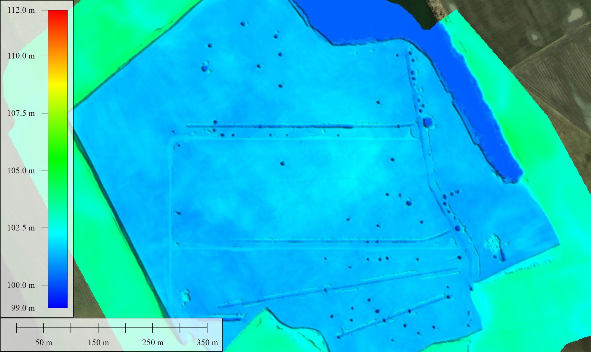
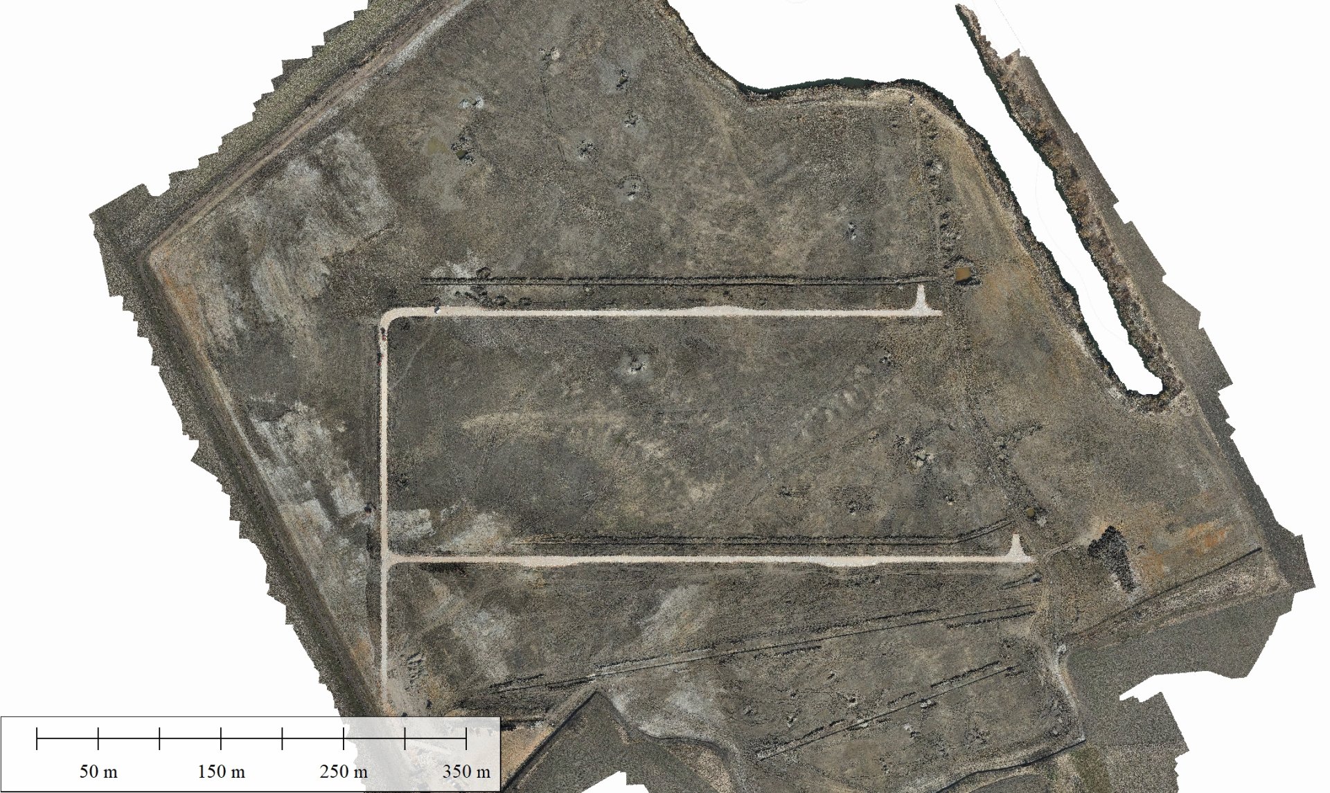
Accurate topographic and surface models are crucial for construction and engineering projects. Recorded topographical data assist architects and engineers in efficient planning, optimizing site layout, and ensuring proper drainage and infrastructure for the area. Precise surface models help in calculating the quantity of earthworks, identifying potentially hazardous zones, and monitoring construction processes.